
 ChatGPT
 Claude
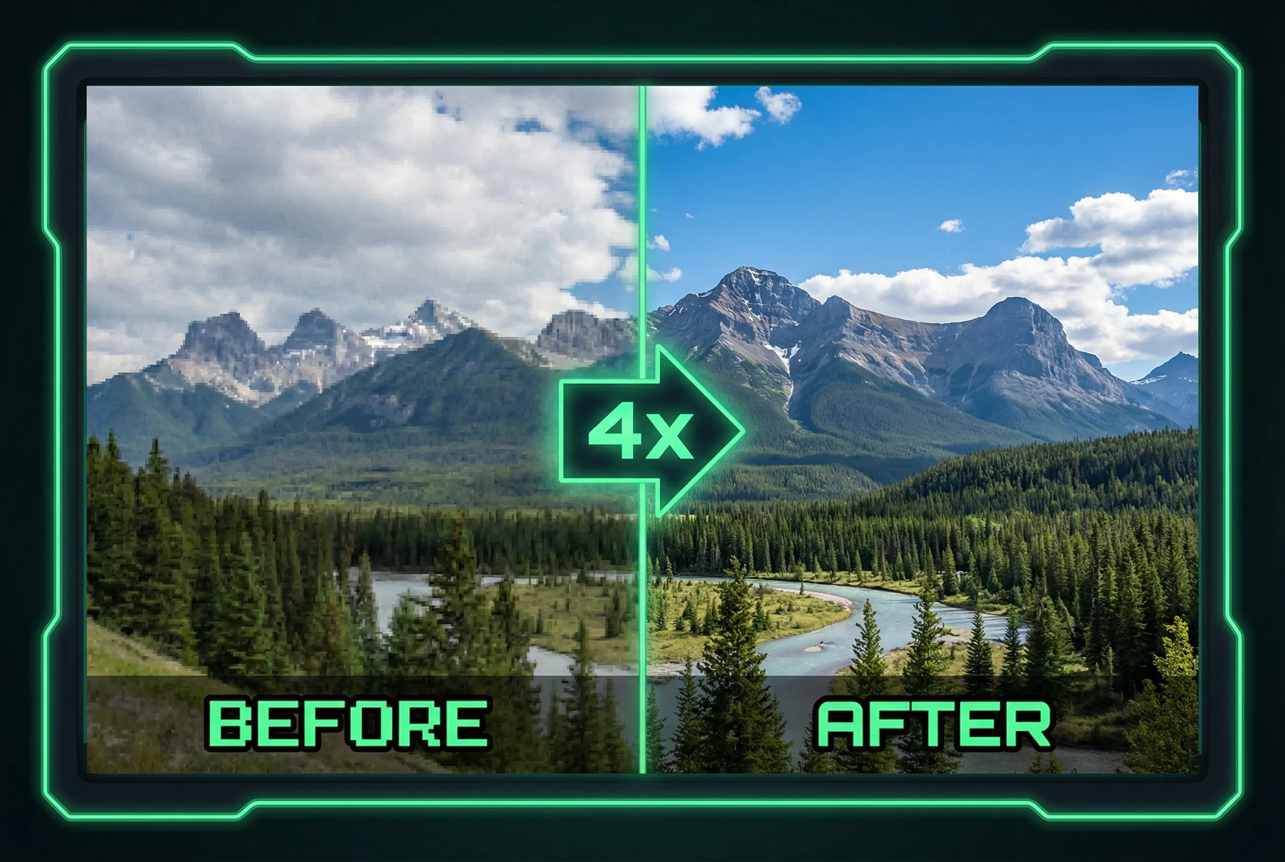
Upscaling a faded map can help readers inspect visible lines and street names. A convincing enhancement can also change a junction or redraw unreadable type. Separate the original map from any enhanced viewing copy and pick a few real line intersections to use as checks before sharing the result.
Choose map features with clear geometry
For a scanned park map, save a crop around one path intersection and a readable sign name. Mark where dashed and solid lines meet. Note partial lettering near fold damage, where a model might guess a word. Compare these points after the edit. A darkened line is useful only if it still follows the same route and keeps the same starting and ending points.
Resolve missing detail from a source
When lettering or paths are unreadable, check an accessible version of the map or another source before recording a name or direction. Added lettering derived only from an enhancement should not be treated as verified. If you publish a clearer label, put it in a separate annotation or accompanying text based on a confirmed reference. Keep the decorative colors from distracting from that evidence.
Keep a dependable viewing copy
Use the AI image upscaler to make a larger comparison. Approve the version that preserves topology and readable text without implying a reconstruction of lines hidden in the original. For directions or accessibility information, consult the current authoritative map. Retain the original scan as the historical record alongside the enlarged version.
Give any corrected annotation a different visual style from the original labels. Viewers can then tell what the original contained and what the editor added.